Middlewood Way south of Bollington
Introduction
The photograph on this page of Middlewood Way south of Bollington by Stephen Craven as part of the Geograph project.
The Geograph project started in 2005 with the aim of publishing, organising and preserving representative images for every square kilometre of Great Britain, Ireland and the Isle of Man.

There are currently over 7.5m images from over 14,400 individuals and you can help contribute to the project by visiting https://www.geograph.org.uk
Middlewood Way south of Bollington
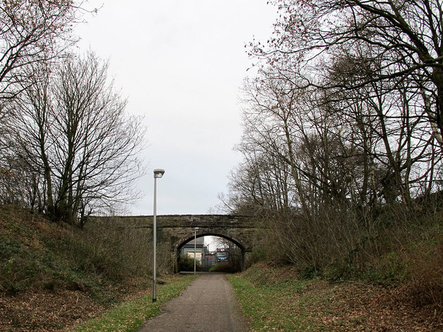
Image: © Stephen Craven Taken: 26 Dec 2011
Looking north towards bridge no. 4 and Bollington beyond. This is a former railway line, closed in 1970, and now a walking/cycle trail. It is better illuminated than some of its kind.
Images are licensed for reuse under creativecommons.org/licenses/by-sa/2.0
Image Location
Latitude
53.289196
Longitude
-2.109016