Firle Bostal
Introduction
The photograph on this page of Firle Bostal by Simon Carey as part of the Geograph project.
The Geograph project started in 2005 with the aim of publishing, organising and preserving representative images for every square kilometre of Great Britain, Ireland and the Isle of Man.

There are currently over 7.5m images from over 14,400 individuals and you can help contribute to the project by visiting https://www.geograph.org.uk
Firle Bostal
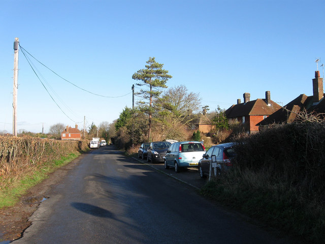
Image: © Simon Carey Taken: 2 Jan 2012
The northern end of the road that leads from the village up onto the Downs. The old droving route was metalled during the Second World War to enable tanks to access training areas on the Downs. The buildings to the right are Caburn View Cottages.
Images are licensed for reuse under creativecommons.org/licenses/by-sa/2.0
Image Location
Latitude
50.848267
Longitude
0.081386