Verwood: twinning signpost fingers
Introduction
The photograph on this page of Verwood: twinning signpost fingers by Chris Downer as part of the Geograph project.
The Geograph project started in 2005 with the aim of publishing, organising and preserving representative images for every square kilometre of Great Britain, Ireland and the Isle of Man.

There are currently over 7.5m images from over 14,400 individuals and you can help contribute to the project by visiting https://www.geograph.org.uk
Verwood: twinning signpost fingers
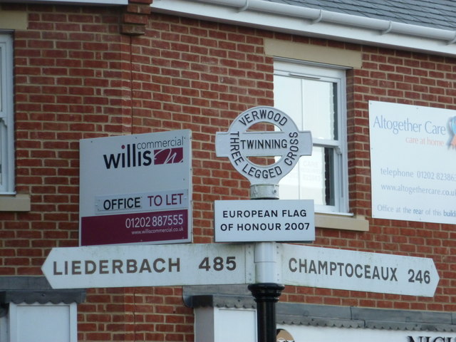
Image: © Chris Downer Taken: 2 Jan 2012
A close-up of Image, showing the fingers which point towards Verwood and Three Legged Cross's twin towns, Liederbach and Champtoceaux, rather than being of any direct navigational use. The finial is a mock-traditional Dorset roundel, such as Image, the nearest genuine article surviving. See Image for an even closer view of the finial.
Images are licensed for reuse under creativecommons.org/licenses/by-sa/2.0
Image Location
Latitude
50.88133
Longitude
-1.878983