River Taff downstream from Castle Bridge, Treforest
Introduction
The photograph on this page of River Taff downstream from Castle Bridge, Treforest by Jaggery as part of the Geograph project.
The Geograph project started in 2005 with the aim of publishing, organising and preserving representative images for every square kilometre of Great Britain, Ireland and the Isle of Man.

There are currently over 7.5m images from over 14,400 individuals and you can help contribute to the project by visiting https://www.geograph.org.uk
River Taff downstream from Castle Bridge, Treforest
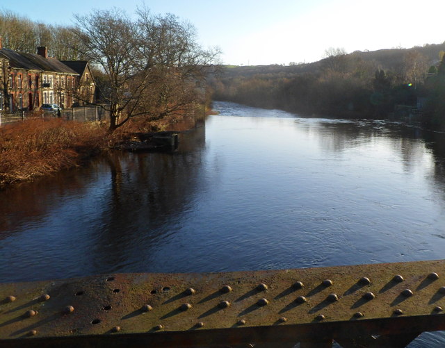
Image: © Jaggery Taken: 9 Dec 2011
Viewed from the middle of this bridge. http://www.geograph.org.uk/photo/2752680 About 100 metres ahead is Treforest Weir. http://www.geograph.org.uk/photo/2752675
Images are licensed for reuse under creativecommons.org/licenses/by-sa/2.0
Image Location
Latitude
51.591477
Longitude
-3.323675