Towards Grosmont
Introduction
The photograph on this page of Towards Grosmont by Graham Horn as part of the Geograph project.
The Geograph project started in 2005 with the aim of publishing, organising and preserving representative images for every square kilometre of Great Britain, Ireland and the Isle of Man.

There are currently over 7.5m images from over 14,400 individuals and you can help contribute to the project by visiting https://www.geograph.org.uk
Towards Grosmont
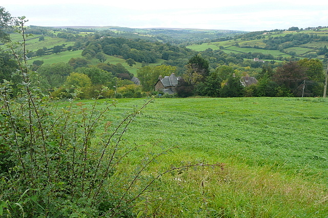
Image: © Graham Horn Taken: 20 Sep 2011
The village and the two railway lines lie mainly hidden in the valley, at the junction of the Murk Esk with the main River Esk. The surrounding farmland is mainly sheep pasture, and this field appears to be grassland.
Images are licensed for reuse under creativecommons.org/licenses/by-sa/2.0
Image Location
Latitude
54.435434
Longitude
-0.720361