Brown winter upland landscape between Crumlin and Sofrydd
Introduction
The photograph on this page of Brown winter upland landscape between Crumlin and Sofrydd by Jaggery as part of the Geograph project.
The Geograph project started in 2005 with the aim of publishing, organising and preserving representative images for every square kilometre of Great Britain, Ireland and the Isle of Man.

There are currently over 7.5m images from over 14,400 individuals and you can help contribute to the project by visiting https://www.geograph.org.uk
Brown winter upland landscape between Crumlin and Sofrydd
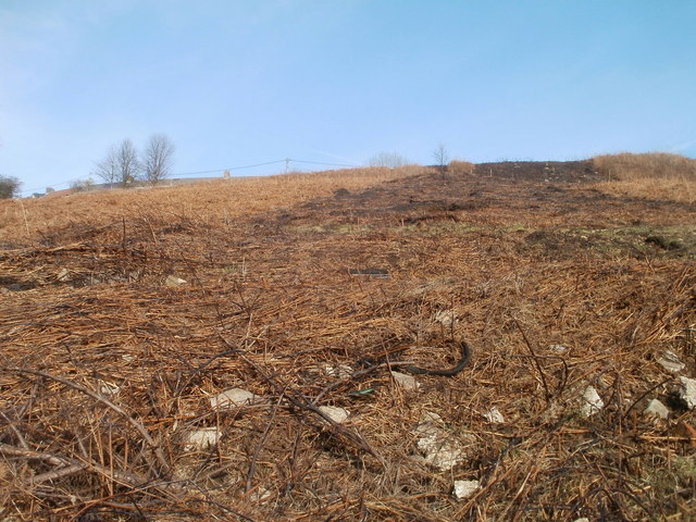
Image: © Jaggery Taken: 17 Feb 2011
There is very little green in this mid-February 2011 view from a hillside path http://www.geograph.org.uk/photo/2752168 above Upper Viaduct Terrace, Crumlin, looking up the hill towards Sofrydd.
Images are licensed for reuse under creativecommons.org/licenses/by-sa/2.0
Image Location
Latitude
51.682425
Longitude
-3.139731