Craighalbert farm road, Cumbernauld community park
Introduction
The photograph on this page of Craighalbert farm road, Cumbernauld community park by carrickstone emily as part of the Geograph project.
The Geograph project started in 2005 with the aim of publishing, organising and preserving representative images for every square kilometre of Great Britain, Ireland and the Isle of Man.

There are currently over 7.5m images from over 14,400 individuals and you can help contribute to the project by visiting https://www.geograph.org.uk
Craighalbert farm road, Cumbernauld community park
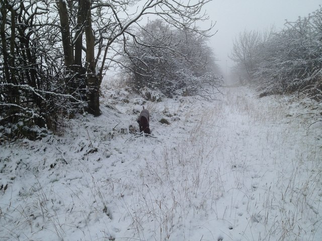
Image: © carrickstone emily Taken: 10 Dec 2011
An old farm road, which is now park of a local park. Small burns run down either side of the road. The road eventually leads to the A80 and would have been park of a system of turnpikes.
Images are licensed for reuse under creativecommons.org/licenses/by-sa/2.0
Image Location
Latitude
55.957969
Longitude
-4.011266