Donington High Bridge and Gauging Station
Introduction
The photograph on this page of Donington High Bridge and Gauging Station by J.Hannan-Briggs as part of the Geograph project.
The Geograph project started in 2005 with the aim of publishing, organising and preserving representative images for every square kilometre of Great Britain, Ireland and the Isle of Man.

There are currently over 7.5m images from over 14,400 individuals and you can help contribute to the project by visiting https://www.geograph.org.uk
Donington High Bridge and Gauging Station
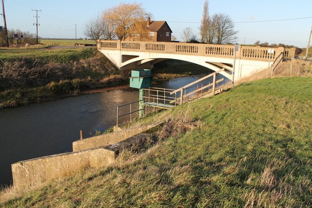
Image: © J.Hannan-Briggs Taken: 2 Jan 2012
The A52 runs on this bridge over the South Forty Foot Drain
Images are licensed for reuse under creativecommons.org/licenses/by-sa/2.0
Image Location
Latitude
52.905216
Longitude
-0.256928