Former St Mary's Church, Crumlin
Introduction
The photograph on this page of Former St Mary's Church, Crumlin by Jaggery as part of the Geograph project.
The Geograph project started in 2005 with the aim of publishing, organising and preserving representative images for every square kilometre of Great Britain, Ireland and the Isle of Man.

There are currently over 7.5m images from over 14,400 individuals and you can help contribute to the project by visiting https://www.geograph.org.uk
Former St Mary's Church, Crumlin
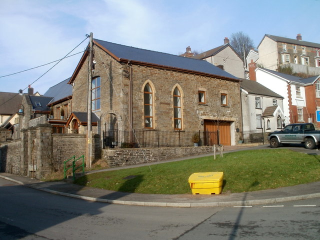
Image: © Jaggery Taken: 17 Feb 2011
Located on the corner of Lawn Terrace and Hafodyrynys Road. The former church has been converted into a dwelling named La Campana. The small grey building on the right is Church House.
Images are licensed for reuse under creativecommons.org/licenses/by-sa/2.0
Image Location
Latitude
51.678843
Longitude
-3.138194