Environmental feature pond
Introduction
The photograph on this page of Environmental feature pond by Antony Dixon as part of the Geograph project.
The Geograph project started in 2005 with the aim of publishing, organising and preserving representative images for every square kilometre of Great Britain, Ireland and the Isle of Man.

There are currently over 7.5m images from over 14,400 individuals and you can help contribute to the project by visiting https://www.geograph.org.uk
Environmental feature pond
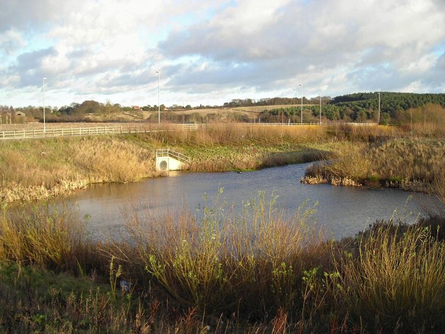
Image: © Antony Dixon Taken: 5 Jan 2012
This pond, situated between industrial development land and the A617 (Mansfield Southern Bypass), appears to have been constructed to give an environmentally-beneficial aspect to an area that could become quite bleak when the proposed industrial development has taken place. (Incidentally, it is a very different shape from what is shown on the map.)
Images are licensed for reuse under creativecommons.org/licenses/by-sa/2.0
Image Location
Latitude
53.124496
Longitude
-1.214228