Partly buried disused railway track, Crumlin
Introduction
The photograph on this page of Partly buried disused railway track, Crumlin by Jaggery as part of the Geograph project.
The Geograph project started in 2005 with the aim of publishing, organising and preserving representative images for every square kilometre of Great Britain, Ireland and the Isle of Man.

There are currently over 7.5m images from over 14,400 individuals and you can help contribute to the project by visiting https://www.geograph.org.uk
Partly buried disused railway track, Crumlin
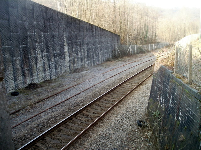
Image: © Jaggery Taken: 17 Feb 2011
Viewed from Crumlin Road adjacent to the A467 road bridge. The track on the right is used by Ebbw Valley line trains travelling in both directions. There are points and double tracks at most of the stations to allow trains to pass each other. A token system ensures that two trains can never occupy one section of single track. The next station ahead is Llanhilleth. The disused track on the left has almost disappeared under ballast.
Images are licensed for reuse under creativecommons.org/licenses/by-sa/2.0
Image Location
Latitude
51.682411
Longitude
-3.141177