Crumlin : Lower Viaduct Terrace viewed from Crumlin Road
Introduction
The photograph on this page of Crumlin : Lower Viaduct Terrace viewed from Crumlin Road by Jaggery as part of the Geograph project.
The Geograph project started in 2005 with the aim of publishing, organising and preserving representative images for every square kilometre of Great Britain, Ireland and the Isle of Man.

There are currently over 7.5m images from over 14,400 individuals and you can help contribute to the project by visiting https://www.geograph.org.uk
Crumlin : Lower Viaduct Terrace viewed from Crumlin Road
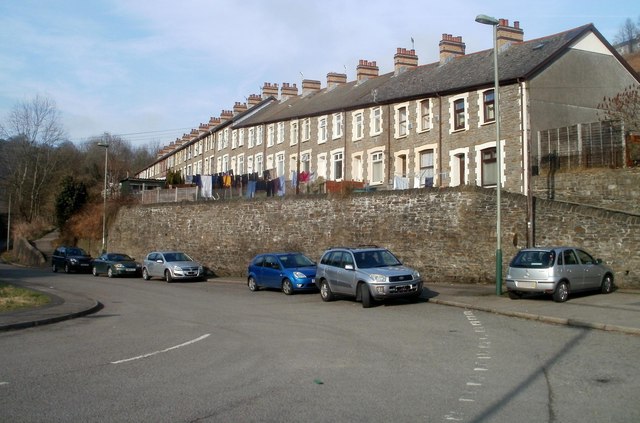
Image: © Jaggery Taken: 17 Feb 2011
Crumlin Road was formerly a through route to the B4471 between Sofrydd and Llanhilleth. After subsidence, part of the road ahead was permanently closed in 2006. http://www.geograph.org.uk/photo/2635541 Walkers can used a footpath through the affected area.
Images are licensed for reuse under creativecommons.org/licenses/by-sa/2.0
Image Location
Latitude
51.681512
Longitude
-3.141154