Buildings, former Navigation Colliery, Crumlin
Introduction
The photograph on this page of Buildings, former Navigation Colliery, Crumlin by Jaggery as part of the Geograph project.
The Geograph project started in 2005 with the aim of publishing, organising and preserving representative images for every square kilometre of Great Britain, Ireland and the Isle of Man.

There are currently over 7.5m images from over 14,400 individuals and you can help contribute to the project by visiting https://www.geograph.org.uk
Buildings, former Navigation Colliery, Crumlin
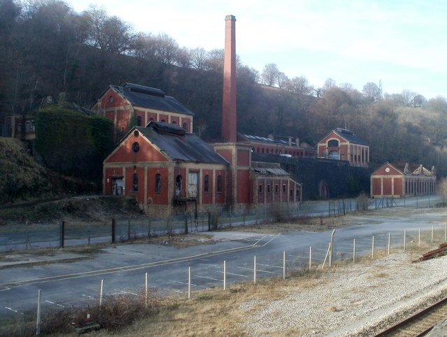
Image: © Jaggery Taken: 17 Feb 2011
Viewed from the A467. There are thirteen listed structures in this site of outstanding industrial architecture.
Images are licensed for reuse under creativecommons.org/licenses/by-sa/2.0
Image Location
Latitude
51.682397
Longitude
-3.142623