A distant view of Lewis Street, Sofrydd
Introduction
The photograph on this page of A distant view of Lewis Street, Sofrydd by Jaggery as part of the Geograph project.
The Geograph project started in 2005 with the aim of publishing, organising and preserving representative images for every square kilometre of Great Britain, Ireland and the Isle of Man.

There are currently over 7.5m images from over 14,400 individuals and you can help contribute to the project by visiting https://www.geograph.org.uk
A distant view of Lewis Street, Sofrydd
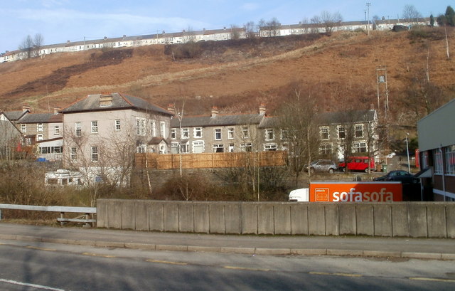
Image: © Jaggery Taken: 17 Feb 2011
The line of houses on the top of the hill are part of Lewis Street, Sofrydd, about 250 metres from the viewpoint, across the A467 in Crumlin.
Images are licensed for reuse under creativecommons.org/licenses/by-sa/2.0
Image Location
Latitude
51.68154
Longitude
-3.138262