Ashby Canal (Donisthorpe Terminus)
Introduction
The photograph on this page of Ashby Canal (Donisthorpe Terminus) by cris sloan as part of the Geograph project.
The Geograph project started in 2005 with the aim of publishing, organising and preserving representative images for every square kilometre of Great Britain, Ireland and the Isle of Man.

There are currently over 7.5m images from over 14,400 individuals and you can help contribute to the project by visiting https://www.geograph.org.uk
Ashby Canal (Donisthorpe Terminus)
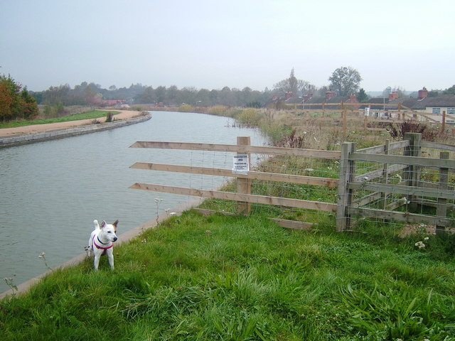
Image: © cris sloan Taken: 8 Nov 2006
From the terminus at Donisthorpe looking towards Moira, the Ashby Canal or "Moira Cut" as it was known to boaters, curves gently to the west. Note the houses of Moira Road on the right, much lower than the level of the canal at this point, a significant amount of metal piling keeping the water at bay.
Images are licensed for reuse under creativecommons.org/licenses/by-sa/2.0
Image Location
Latitude
52.727232
Longitude
-1.535009