Viaduct Buildings, Crumlin
Introduction
The photograph on this page of Viaduct Buildings, Crumlin by Jaggery as part of the Geograph project.
The Geograph project started in 2005 with the aim of publishing, organising and preserving representative images for every square kilometre of Great Britain, Ireland and the Isle of Man.

There are currently over 7.5m images from over 14,400 individuals and you can help contribute to the project by visiting https://www.geograph.org.uk
Viaduct Buildings, Crumlin
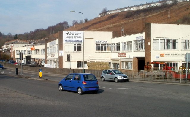
Image: © Jaggery Taken: 17 Feb 2011
Business premises on the east side of the A467. This area was formerly crossed by the Crumlin Viaduct, which at 200 feet was the highest railway viaduct ever built in the British Isles. In 1962, the viaduct was scheduled by the Ministry of Housing and Local Government as a structure of architectural and historical importance. However at the time of closure of the viaduct in 1964, this decision was overruled by British Railways, who decided that demolition was needed, partly because the viaduct needed continuing regular maintenance (despite the line being closed) and partly because the structure was deemed to be in a dangerous state of disrepair. Dismantling of the viaduct was completed in 1967.
Images are licensed for reuse under creativecommons.org/licenses/by-sa/2.0
Image Location
Latitude
51.679728
Longitude
-3.139663