Ramsgreave Drive
Introduction
The photograph on this page of Ramsgreave Drive by Bill Boaden as part of the Geograph project.
The Geograph project started in 2005 with the aim of publishing, organising and preserving representative images for every square kilometre of Great Britain, Ireland and the Isle of Man.

There are currently over 7.5m images from over 14,400 individuals and you can help contribute to the project by visiting https://www.geograph.org.uk
Ramsgreave Drive
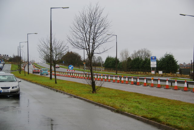
Image: © Bill Boaden Taken: 31 Dec 2011
This is Blackburn's northern ring road. The cones seem to have been here for quite a while. The nearest lane is for residents' access and parking. On the far side is Blackburn RUFC.
Images are licensed for reuse under creativecommons.org/licenses/by-sa/2.0
Image Location
Latitude
53.770202
Longitude
-2.489405