Meanwood Beck
Introduction
The photograph on this page of Meanwood Beck by Rick Carn as part of the Geograph project.
The Geograph project started in 2005 with the aim of publishing, organising and preserving representative images for every square kilometre of Great Britain, Ireland and the Isle of Man.

There are currently over 7.5m images from over 14,400 individuals and you can help contribute to the project by visiting https://www.geograph.org.uk
Meanwood Beck
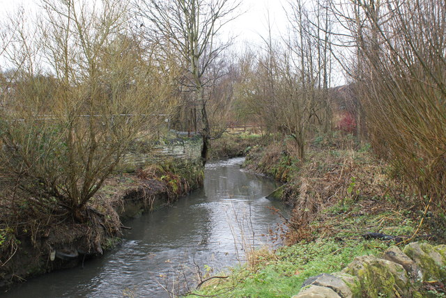
Image: © Rick Carn Taken: 23 Dec 2011
Viewing upstream from bridge to Meanwood Urban Farm Cafe & Shop. An excellent facility on the Alwoodley>Leeds Centre Cycle way (P2 of pdf has map route) http://www.leeds.gov.uk/files/Internet2007/2011/42/12pp%20alwoodley%20dl%20concertina%20fold%20web%20hr.pdf
Images are licensed for reuse under creativecommons.org/licenses/by-sa/2.0
Image Location


Leaflet Map data © OpenStreetMap
Latitude
53.820346
Longitude
-1.553836