Pendoylan Road
Introduction
The photograph on this page of Pendoylan Road by Tony Hodge as part of the Geograph project.
The Geograph project started in 2005 with the aim of publishing, organising and preserving representative images for every square kilometre of Great Britain, Ireland and the Isle of Man.

There are currently over 7.5m images from over 14,400 individuals and you can help contribute to the project by visiting https://www.geograph.org.uk
Pendoylan Road
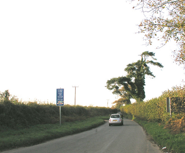
Image: © Tony Hodge Taken: 3 Nov 2006
A narrow country lane with passing places: not much more than a surfaced farm track. But it now carries a high volume of traffic between the M4 Junction 34 to the north and Barry / Cardiff Airport to the south.
Images are licensed for reuse under creativecommons.org/licenses/by-sa/2.0
Image Location
Latitude
51.461888
Longitude
-3.332877