Hangars at Pollington
Introduction
The photograph on this page of Hangars at Pollington by Alan Murray-Rust as part of the Geograph project.
The Geograph project started in 2005 with the aim of publishing, organising and preserving representative images for every square kilometre of Great Britain, Ireland and the Isle of Man.

There are currently over 7.5m images from over 14,400 individuals and you can help contribute to the project by visiting https://www.geograph.org.uk
Hangars at Pollington
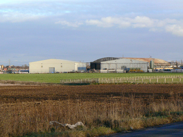
Image: © Alan Murray-Rust Taken: 27 Dec 2011
This was the Snaith (Pollington) airfield, originally part of No.1 Group, Bomber Command. The hangars have been converted to industrial use. The rounded roof hangar is a J-type, the other two are T-type.
Images are licensed for reuse under creativecommons.org/licenses/by-sa/2.0
Image Location
Latitude
53.678695
Longitude
-1.080871