Almshouses, New North Road
Introduction
The photograph on this page of Almshouses, New North Road by Roger Templeman as part of the Geograph project.
The Geograph project started in 2005 with the aim of publishing, organising and preserving representative images for every square kilometre of Great Britain, Ireland and the Isle of Man.

There are currently over 7.5m images from over 14,400 individuals and you can help contribute to the project by visiting https://www.geograph.org.uk
Almshouses, New North Road
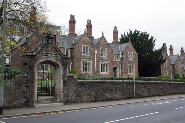
Image: © Roger Templeman Taken: 19 Nov 2011
In 1962 the Ordnance Survey verified a benchmark on the bottom step at the entrance, which was levelled at 39.5844m above their Datum at Newlyn. The step appears new and there is no sign of the mark.
Images are licensed for reuse under creativecommons.org/licenses/by-sa/2.0
Image Location
Latitude
50.728622
Longitude
-3.538093