
The Lloyds House near Ironbridge
Introduction
The photograph on this page of The Lloyds House near Ironbridge by Jeremy Bolwell as part of the Geograph project.
The Geograph project started in 2005 with the aim of publishing, organising and preserving representative images for every square kilometre of Great Britain, Ireland and the Isle of Man.

There are currently over 7.5m images from over 14,400 individuals and you can help contribute to the project by visiting https://www.geograph.org.uk
The Lloyds House near Ironbridge
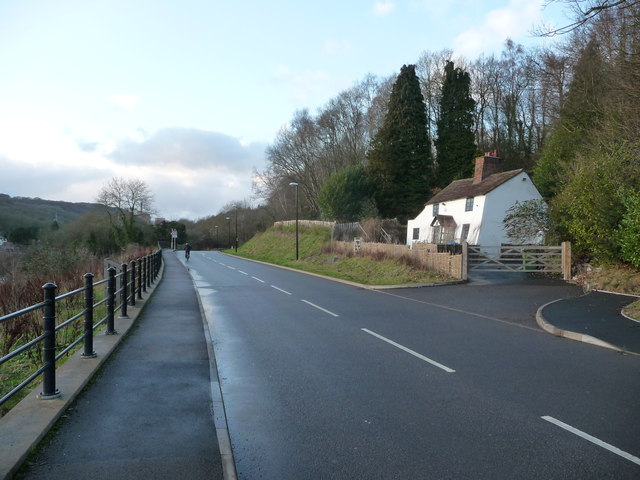
Image: © Jeremy Bolwell Taken: 3 Jan 2012
A very crooked old house that at first sight makes you check your eyesight. It is as if it has been jerry built out of cake icing and has melted in the winter sunshine. Or out of MDF and been soaking up rainwater. Or as a film set by drunken set-builders. Or by over keen residents in the early 20th century on land that is liable to subsidence or landslips. Other than that it looks exceedingly well kept. Do the bedrooms have sloping beds? Or hammocks like a ship of the line in Nelson's day? I am suddenly, after an interval of around 43 years, reminded of the nursery rhyme; There was a crooked man, and he walked a crooked mile. He found a crooked sixpence against a crooked stile. He bought a crooked cat, which caught a crooked mouse, And they all lived together in a little crooked house. This must be that house obviously.
Images are licensed for reuse under creativecommons.org/licenses/by-sa/2.0
Image Location

Latitude
52.623065
Longitude
-2.458483