Bridleway from Slade
Introduction
The photograph on this page of Bridleway from Slade by Derek Harper as part of the Geograph project.
The Geograph project started in 2005 with the aim of publishing, organising and preserving representative images for every square kilometre of Great Britain, Ireland and the Isle of Man.

There are currently over 7.5m images from over 14,400 individuals and you can help contribute to the project by visiting https://www.geograph.org.uk
Bridleway from Slade
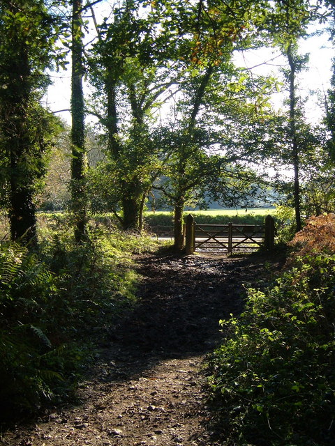
Image: © Derek Harper Taken: 5 Nov 2006
The bridleway reaches the end of a wooded section close to the River Piall and joins the lane to Sparkwell near Stert Bridge.
Images are licensed for reuse under creativecommons.org/licenses/by-sa/2.0
Image Location
Latitude
50.402351
Longitude
-3.97218