Little Stert
Introduction
The photograph on this page of Little Stert by Derek Harper as part of the Geograph project.
The Geograph project started in 2005 with the aim of publishing, organising and preserving representative images for every square kilometre of Great Britain, Ireland and the Isle of Man.

There are currently over 7.5m images from over 14,400 individuals and you can help contribute to the project by visiting https://www.geograph.org.uk
Little Stert
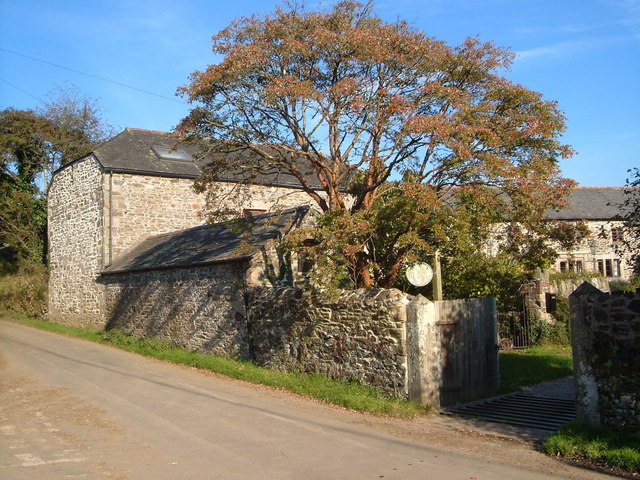
Image: © Derek Harper Taken: 5 Nov 2006
One of a number of C16/C17 farms and houses around Cornwood. Mullioned windows on the main house http://list.english-heritage.org.uk/resultsingle.aspx?uid=1107458&searchtype=mapsearch can be made out on the right of the photo. The fine stables by the lane are described at http://list.english-heritage.org.uk/resultsingle.aspx?uid=1162532&searchtype=mapsearch . This is a sunny version of Image, taken a few days earlier.
Images are licensed for reuse under creativecommons.org/licenses/by-sa/2.0
Image Location


Leaflet Map data © OpenStreetMap
Latitude
50.400681
Longitude
-3.969859