Park Lane, Barlow
Introduction
The photograph on this page of Park Lane, Barlow by Alan Murray-Rust as part of the Geograph project.
The Geograph project started in 2005 with the aim of publishing, organising and preserving representative images for every square kilometre of Great Britain, Ireland and the Isle of Man.

There are currently over 7.5m images from over 14,400 individuals and you can help contribute to the project by visiting https://www.geograph.org.uk
Park Lane, Barlow
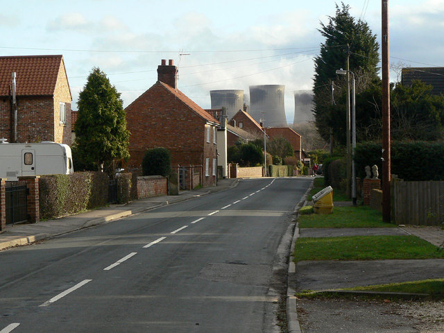
Image: © Alan Murray-Rust Taken: 26 Dec 2011
Looking south-east from the junction with Brown Cow Road, with cooling towers of Drax Power Station Image in the background.
Images are licensed for reuse under creativecommons.org/licenses/by-sa/2.0
Image Location
Latitude
53.751133
Longitude
-1.022875