Woods near Hazebrouk Road
Introduction
The photograph on this page of Woods near Hazebrouk Road by David Anstiss as part of the Geograph project.
The Geograph project started in 2005 with the aim of publishing, organising and preserving representative images for every square kilometre of Great Britain, Ireland and the Isle of Man.

There are currently over 7.5m images from over 14,400 individuals and you can help contribute to the project by visiting https://www.geograph.org.uk
Woods near Hazebrouk Road
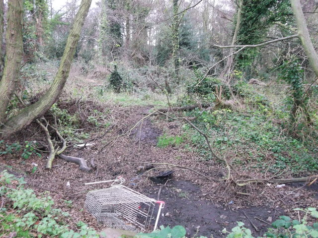
Image: © David Anstiss Taken: 25 Dec 2011
This block of woods is surrounded by houses. Part of the expansion of Faversham in the mid '60s. This patch of woods and ditch has survived. The drain used to be part of a watercress bed that then later fed into the Stonebridge Ponds. The shopping trolley is an annoying reminder of the vandal element of today's youth!
Images are licensed for reuse under creativecommons.org/licenses/by-sa/2.0
Image Location
Latitude
51.316222
Longitude
0.874464