Railway Bridge, East Aberthaw
Introduction
The photograph on this page of Railway Bridge, East Aberthaw by Guy Butler-Madden as part of the Geograph project.
The Geograph project started in 2005 with the aim of publishing, organising and preserving representative images for every square kilometre of Great Britain, Ireland and the Isle of Man.

There are currently over 7.5m images from over 14,400 individuals and you can help contribute to the project by visiting https://www.geograph.org.uk
Railway Bridge, East Aberthaw
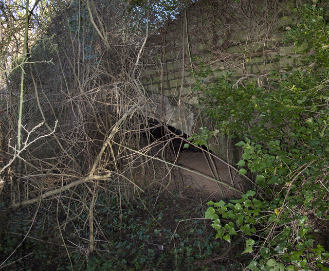
Image: © Guy Butler-Madden Taken: 3 Dec 2009
This is the west side of the bridge carried the Cowbridge and Aberthaw over Well Road. As can be seen it has been blocked off and the east side is difficult to spot being hidden undergrowth.
Images are licensed for reuse under creativecommons.org/licenses/by-sa/2.0
Image Location
Latitude
51.390716
Longitude
-3.390885