Former Lancashire and Yorkshire Railway Route
Introduction
The photograph on this page of Former Lancashire and Yorkshire Railway Route by David Dixon as part of the Geograph project.
The Geograph project started in 2005 with the aim of publishing, organising and preserving representative images for every square kilometre of Great Britain, Ireland and the Isle of Man.

There are currently over 7.5m images from over 14,400 individuals and you can help contribute to the project by visiting https://www.geograph.org.uk
Former Lancashire and Yorkshire Railway Route
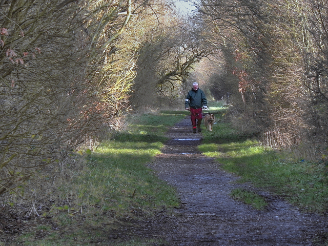
Image: © David Dixon Taken: 2 Jan 2012
Looking along the route of the former Liverpool and Bury (later Lancashire and Yorkshire) Railway. This view is looking in the direction of Radcliffe (Ainsworth Road and Black Lane) behind the Bradley Fold Trading Estate. The Liverpool and Bury Railway was formed in 1845. In 1847, it was incorporated into the Lancashire and Yorkshire Railway and from 1922, until nationalisation, was part of the London, Midland and Scottish Railway. The line between Bolton and Bury was closed in 1970 and part of the route, as here, is now a footpath although it has been built over in other places (http://menmedia.co.uk/heywoodadvertiser/news/s/390183_rail_decision_spells_gloom_for_lines_future - Heywood Advertiser). http://www.lyrs.org.uk/the_railway/ - The Lancashire and Yorkshire Railway Society http://en.wikipedia.org/wiki/Lancashire_and_Yorkshire_Railway - L&YR article on Wikipedia
Images are licensed for reuse under creativecommons.org/licenses/by-sa/2.0
Image Location
Latitude
53.571479
Longitude
-2.361016