Trafford Road Swing Bridge, Manchester Ship Canal
Introduction
The photograph on this page of Trafford Road Swing Bridge, Manchester Ship Canal by Martin Clark as part of the Geograph project.
The Geograph project started in 2005 with the aim of publishing, organising and preserving representative images for every square kilometre of Great Britain, Ireland and the Isle of Man.

There are currently over 7.5m images from over 14,400 individuals and you can help contribute to the project by visiting https://www.geograph.org.uk
Trafford Road Swing Bridge, Manchester Ship Canal
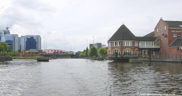
Image: © Martin Clark Taken: Unknown
Trafford Road Swing Bridge, which no longer opens as large ships no longer come this far along the canal.
Images are licensed for reuse under creativecommons.org/licenses/by-sa/2.0
Image Location


Leaflet Map data © OpenStreetMap
Latitude
53.464913
Longitude
-2.280128