Llwybr ucheldir Talyllychau / Talley upland footpath
Introduction
The photograph on this page of Llwybr ucheldir Talyllychau / Talley upland footpath by Alan Richards as part of the Geograph project.
The Geograph project started in 2005 with the aim of publishing, organising and preserving representative images for every square kilometre of Great Britain, Ireland and the Isle of Man.

There are currently over 7.5m images from over 14,400 individuals and you can help contribute to the project by visiting https://www.geograph.org.uk
Llwybr ucheldir Talyllychau / Talley upland footpath
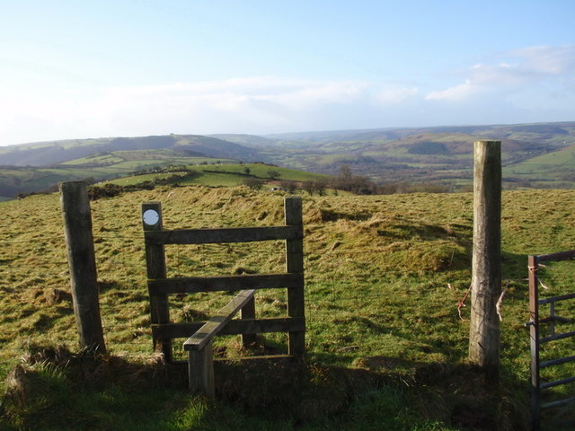
Image: © Alan Richards Taken: 2 Jan 2012
Sticil ar gefnen yn ardal Talyllychau. Ceir golygfeydd ardderchog o'r llwybr hwn. A stile on a fine upland footpath in the Talley area. The ridge offers excellent views of the surrounding countryside.
Images are licensed for reuse under creativecommons.org/licenses/by-sa/2.0
Image Location


Leaflet Map data © OpenStreetMap
Latitude
51.995138
Longitude
-3.943679