Sporting facilities between Eagley and Dunscar
Introduction
The photograph on this page of Sporting facilities between Eagley and Dunscar by Bill Boaden as part of the Geograph project.
The Geograph project started in 2005 with the aim of publishing, organising and preserving representative images for every square kilometre of Great Britain, Ireland and the Isle of Man.

There are currently over 7.5m images from over 14,400 individuals and you can help contribute to the project by visiting https://www.geograph.org.uk
Sporting facilities between Eagley and Dunscar
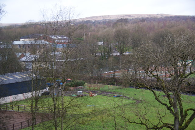
Image: © Bill Boaden Taken: 28 Dec 2011
There is an equestrian site on this side of Eagley Brook, while there are facilities for numerous sports on the other side. This is seen from the A666, but the view is usually totally obscured by foliage.
Images are licensed for reuse under creativecommons.org/licenses/by-sa/2.0
Image Location
Latitude
53.615362
Longitude
-2.435763