Hack ride, Epsom downs
Introduction
The photograph on this page of Hack ride, Epsom downs by Hugh Craddock as part of the Geograph project.
The Geograph project started in 2005 with the aim of publishing, organising and preserving representative images for every square kilometre of Great Britain, Ireland and the Isle of Man.

There are currently over 7.5m images from over 14,400 individuals and you can help contribute to the project by visiting https://www.geograph.org.uk
Hack ride, Epsom downs
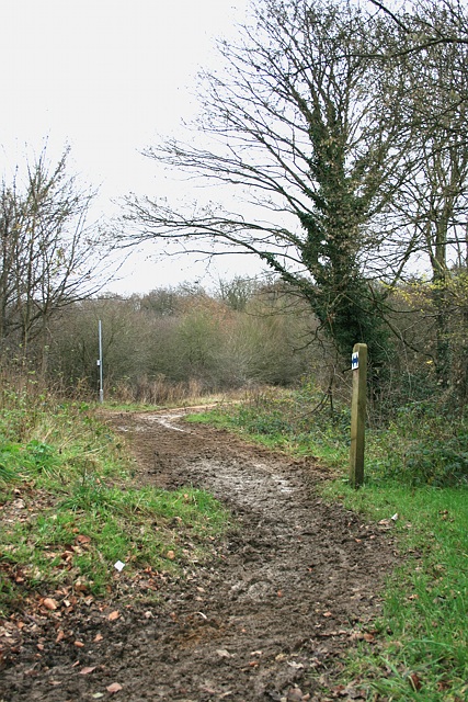
Image: © Hugh Craddock Taken: 26 Dec 2011
A hack ride (a track on Epsom and Walton Downs designated for use by 'hack riders': those who ride horses other than race horses in training) peels off Langley Vale Road towards Middle Hill. The blue arrows on the post to the right indicate that the track is a hack ride, and is open at all times. The post in the distance has an unknown function.
Images are licensed for reuse under creativecommons.org/licenses/by-sa/2.0
Image Location
Latitude
51.308391
Longitude
-0.268035