Stanley Hall
Introduction
The photograph on this page of Stanley Hall by Dave Dunford as part of the Geograph project.
The Geograph project started in 2005 with the aim of publishing, organising and preserving representative images for every square kilometre of Great Britain, Ireland and the Isle of Man.

There are currently over 7.5m images from over 14,400 individuals and you can help contribute to the project by visiting https://www.geograph.org.uk
Stanley Hall
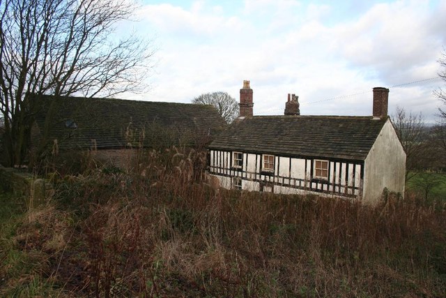
Image: © Dave Dunford Taken: 2 Jan 2012
The rendering and timbering is 19th-century, but the core of the building is of the late 16th century. Grade II listed (as is the adjacent barn) but apparently uninhabited and rather neglected. It lies within Disley Golf Course (opened 1889) close to the modern clubhouse.
Images are licensed for reuse under creativecommons.org/licenses/by-sa/2.0
Image Location
Latitude
53.364202
Longitude
-2.046244