Rugby-Rounds Gardens
Introduction
The photograph on this page of Rugby-Rounds Gardens by Ian Rob as part of the Geograph project.
The Geograph project started in 2005 with the aim of publishing, organising and preserving representative images for every square kilometre of Great Britain, Ireland and the Isle of Man.

There are currently over 7.5m images from over 14,400 individuals and you can help contribute to the project by visiting https://www.geograph.org.uk
Rugby-Rounds Gardens
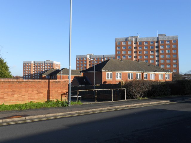
Image: © Ian Rob Taken: 2 Jan 2012
Three tower blocks from the 1960s, looking from Edward Street.
Images are licensed for reuse under creativecommons.org/licenses/by-sa/2.0
Image Location
Latitude
52.374919
Longitude
-1.268726