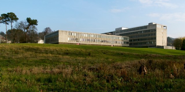
The County Buildings, Dumbarton
Introduction
The photograph on this page of The County Buildings, Dumbarton by Lairich Rig as part of the Geograph project.
The Geograph project started in 2005 with the aim of publishing, organising and preserving representative images for every square kilometre of Great Britain, Ireland and the Isle of Man.
There are currently over 7.5m images from over 14,400 individuals and you can help contribute to the project by visiting https://www.geograph.org.uk

Image: © Lairich Rig Taken: 16 Nov 2011
See the end-note for a more detailed description, and click on the end-note title for related pictures. Until 2011, there were trees in the area shown in the foreground of the photograph. They were felled in advance of the creation of a flood storage pond in this area: Image / Image / Image This will be part of a flood alleviation scheme; in the past, flooding has occurred when the waters of the Knowle Burn, which flows through this area, have been swollen by heavy rains; see Image on the burn.

