Flooding at Cove Road
Introduction
The photograph on this page of Flooding at Cove Road by Thomas Nugent as part of the Geograph project.
The Geograph project started in 2005 with the aim of publishing, organising and preserving representative images for every square kilometre of Great Britain, Ireland and the Isle of Man.

There are currently over 7.5m images from over 14,400 individuals and you can help contribute to the project by visiting https://www.geograph.org.uk
Flooding at Cove Road
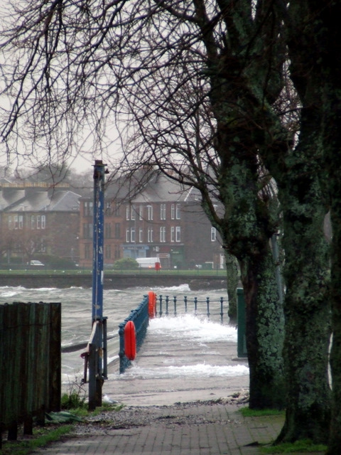
Image: © Thomas Nugent Taken: 28 Dec 2011
Normally a pleasant walk between Gourock Bay and Cardwell Bay, but not today.
Images are licensed for reuse under creativecommons.org/licenses/by-sa/2.0
Image Location
Latitude
55.957328
Longitude
-4.806841