Redehall Prep School
Introduction
The photograph on this page of Redehall Prep School by Ian Capper as part of the Geograph project.
The Geograph project started in 2005 with the aim of publishing, organising and preserving representative images for every square kilometre of Great Britain, Ireland and the Isle of Man.

There are currently over 7.5m images from over 14,400 individuals and you can help contribute to the project by visiting https://www.geograph.org.uk
Redehall Prep School
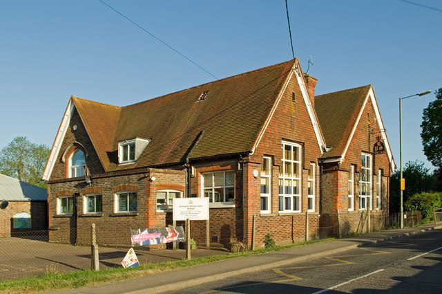
Image: © Ian Capper Taken: 27 Apr 2011
Former primary school built in 1870. The present school was founded in 1980.
Images are licensed for reuse under creativecommons.org/licenses/by-sa/2.0
Image Location
Latitude
51.166889
Longitude
-0.114956