Hunters Lodge
Introduction
The photograph on this page of Hunters Lodge by Ian Capper as part of the Geograph project.
The Geograph project started in 2005 with the aim of publishing, organising and preserving representative images for every square kilometre of Great Britain, Ireland and the Isle of Man.

There are currently over 7.5m images from over 14,400 individuals and you can help contribute to the project by visiting https://www.geograph.org.uk
Hunters Lodge
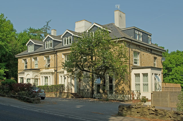
Image: © Ian Capper Taken: 25 Apr 2011
A large Victorian house, now divided into flats. It is shown unnamed on the 1870-72 map, and named Claremont on the 1896-7 map, a name still appearing on the 1966-68 map.
Images are licensed for reuse under creativecommons.org/licenses/by-sa/2.0
Image Location
Latitude
51.235913
Longitude
-0.152977