Towards Knighton Coombe
Introduction
The photograph on this page of Towards Knighton Coombe by Derek Harper as part of the Geograph project.
The Geograph project started in 2005 with the aim of publishing, organising and preserving representative images for every square kilometre of Great Britain, Ireland and the Isle of Man.

There are currently over 7.5m images from over 14,400 individuals and you can help contribute to the project by visiting https://www.geograph.org.uk
Towards Knighton Coombe
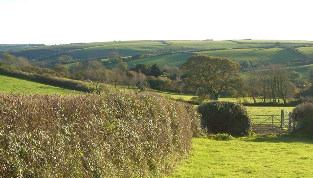
Image: © Derek Harper Taken: 4 Nov 2006
Looking roughly south from the lane between Ley Cross and Coombe Cross in the South Hams, towards a valley that descends left towards the Avon estuary.
Images are licensed for reuse under creativecommons.org/licenses/by-sa/2.0
Image Location
Latitude
50.326895
Longitude
-3.862836