Christchurch, Creedy Path
Introduction
The photograph on this page of Christchurch, Creedy Path by Mike Faherty as part of the Geograph project.
The Geograph project started in 2005 with the aim of publishing, organising and preserving representative images for every square kilometre of Great Britain, Ireland and the Isle of Man.

There are currently over 7.5m images from over 14,400 individuals and you can help contribute to the project by visiting https://www.geograph.org.uk
Christchurch, Creedy Path
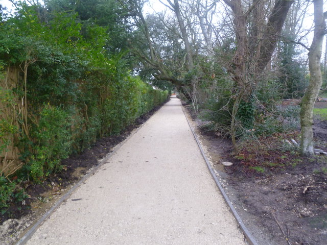
Image: © Mike Faherty Taken: 1 Jan 2012
Path from Wick Lane to Sopers Lane, running through Druitt Gardens. Like the gardens (to the right), the path is being refurbished. According to a poster, this is one of Christchurch's oldest paths, which probably once connected the priory and a leper hospital off Barrack Road. It seems that the path will in future also be used by cyclists: http://www.dorsetecho.co.uk/archive/2011/06/19/Latest+News+(be_latest+news)/9092355.Cyclists_on_road_to_success/
Images are licensed for reuse under creativecommons.org/licenses/by-sa/2.0
Image Location
Latitude
50.733256
Longitude
-1.778759