Park path, Belfast (1)
Introduction
The photograph on this page of Park path, Belfast (1) by Albert Bridge as part of the Geograph project.
The Geograph project started in 2005 with the aim of publishing, organising and preserving representative images for every square kilometre of Great Britain, Ireland and the Isle of Man.

There are currently over 7.5m images from over 14,400 individuals and you can help contribute to the project by visiting https://www.geograph.org.uk
Park path, Belfast (1)
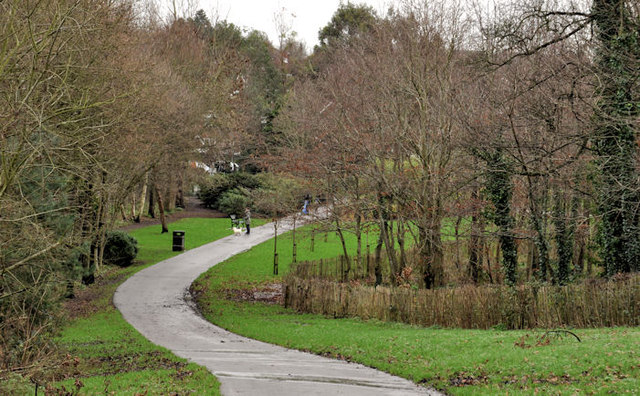
Image: © Albert Bridge Taken: 31 Dec 2011
This path (to the best of my knowledge) marks the “boundary” between Greenville Park (left) and Orangefield Park and playing fields. The Knock River Image is out of picture to the left. The view is towards Orangefield Lane Image
Images are licensed for reuse under creativecommons.org/licenses/by-sa/2.0
Image Location
Latitude
54.587189
Longitude
-5.879378