View north-eastwards across rough grazing from the Corbally Road
Introduction
The photograph on this page of View north-eastwards across rough grazing from the Corbally Road by Eric Jones as part of the Geograph project.
The Geograph project started in 2005 with the aim of publishing, organising and preserving representative images for every square kilometre of Great Britain, Ireland and the Isle of Man.

There are currently over 7.5m images from over 14,400 individuals and you can help contribute to the project by visiting https://www.geograph.org.uk
View north-eastwards across rough grazing from the Corbally Road
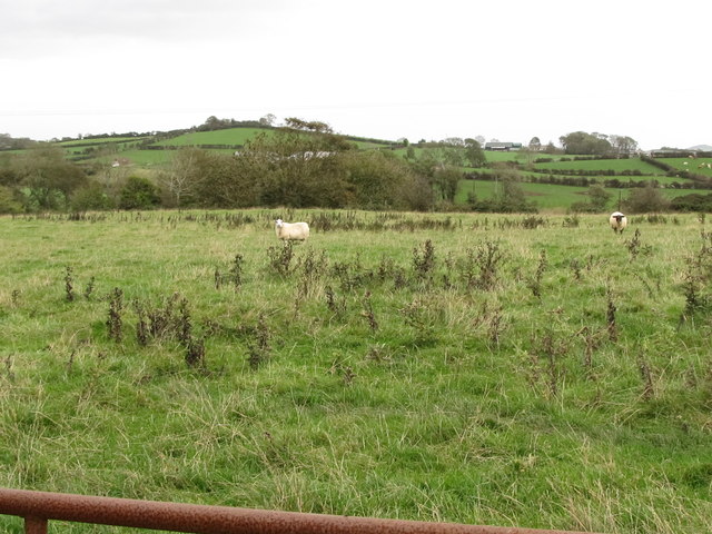
Image: © Eric Jones Taken: 4 Oct 2011
The ruins of Castle Skreen and adjacent rath can be seen on the summit of the hill.
Images are licensed for reuse under creativecommons.org/licenses/by-sa/2.0
Image Location
Latitude
54.285026
Longitude
-5.756105