Medieval barn
Introduction
The photograph on this page of Medieval barn by Ruth Riddle as part of the Geograph project.
The Geograph project started in 2005 with the aim of publishing, organising and preserving representative images for every square kilometre of Great Britain, Ireland and the Isle of Man.

There are currently over 7.5m images from over 14,400 individuals and you can help contribute to the project by visiting https://www.geograph.org.uk
Medieval barn
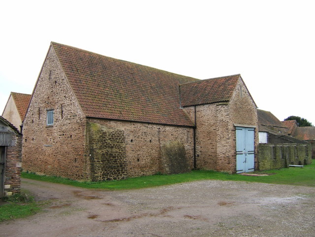
Image: © Ruth Riddle Taken: 31 Dec 2011
Winterbourne medieval barn is a 14th century building located close to the parish church.
Images are licensed for reuse under creativecommons.org/licenses/by-sa/2.0
Image Location
Latitude
51.526135
Longitude
-2.518439