Hillside down to Pendle Water
Introduction
The photograph on this page of Hillside down to Pendle Water by Bill Boaden as part of the Geograph project.
The Geograph project started in 2005 with the aim of publishing, organising and preserving representative images for every square kilometre of Great Britain, Ireland and the Isle of Man.

There are currently over 7.5m images from over 14,400 individuals and you can help contribute to the project by visiting https://www.geograph.org.uk
Hillside down to Pendle Water
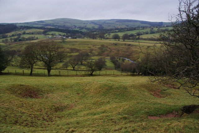
Image: © Bill Boaden Taken: 27 Dec 2011
Pendle Water can be seen flowing at the bottom. This is the north east end of the Rigg of England ridge.
Images are licensed for reuse under creativecommons.org/licenses/by-sa/2.0
Image Location
Latitude
53.863297
Longitude
-2.2247