Old Military Road
Introduction
The photograph on this page of Old Military Road by Ann Cook as part of the Geograph project.
The Geograph project started in 2005 with the aim of publishing, organising and preserving representative images for every square kilometre of Great Britain, Ireland and the Isle of Man.

There are currently over 7.5m images from over 14,400 individuals and you can help contribute to the project by visiting https://www.geograph.org.uk
Old Military Road
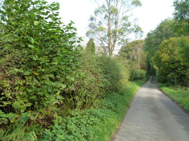
Image: © Ann Cook Taken: 28 Sep 2011
This is approaching Luckie Hargs Brae. Anwoth Cottage can be seen behind the tree.
Images are licensed for reuse under creativecommons.org/licenses/by-sa/2.0
Image Location
Latitude
54.885927
Longitude
-4.203676