Old railway embankment, West Tanfield
Introduction
The photograph on this page of Old railway embankment, West Tanfield by Oliver Dixon as part of the Geograph project.
The Geograph project started in 2005 with the aim of publishing, organising and preserving representative images for every square kilometre of Great Britain, Ireland and the Isle of Man.

There are currently over 7.5m images from over 14,400 individuals and you can help contribute to the project by visiting https://www.geograph.org.uk
Old railway embankment, West Tanfield
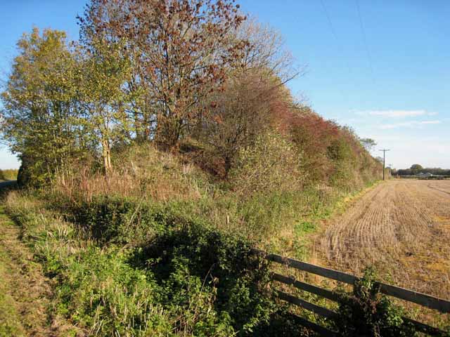
Image: © Oliver Dixon Taken: 6 Nov 2006
The railway was the former branch line from Melmerby (on the Leeds-Ripon-Northallerton line) to Masham. A narrow-gauge line ran from near Masham station for the building of Roundhill and Leighton reservoirs from around 1905-1930s. See http://www.disused-stations.org.uk/t/tanfield/index.shtml for information on the nearest station to this point and for general information on the branch.
Images are licensed for reuse under creativecommons.org/licenses/by-sa/2.0
Image Location


Leaflet Map data © OpenStreetMap
Latitude
54.206906
Longitude
-1.578353