Footpath View
Introduction
The photograph on this page of Footpath View by terry joyce as part of the Geograph project.
The Geograph project started in 2005 with the aim of publishing, organising and preserving representative images for every square kilometre of Great Britain, Ireland and the Isle of Man.

There are currently over 7.5m images from over 14,400 individuals and you can help contribute to the project by visiting https://www.geograph.org.uk
Footpath View
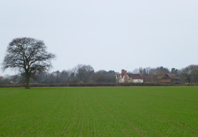
Image: © terry joyce Taken: 30 Dec 2011
Taken from the footpath. The West Hanningfield Road is beyond the hedge. I believe the building is Elm's Farm, which is grid Image
Images are licensed for reuse under creativecommons.org/licenses/by-sa/2.0
Image Location
Latitude
51.677012
Longitude
0.490917