Bradfield Common
Introduction
The photograph on this page of Bradfield Common by Pam Brophy as part of the Geograph project.
The Geograph project started in 2005 with the aim of publishing, organising and preserving representative images for every square kilometre of Great Britain, Ireland and the Isle of Man.

There are currently over 7.5m images from over 14,400 individuals and you can help contribute to the project by visiting https://www.geograph.org.uk
Bradfield Common
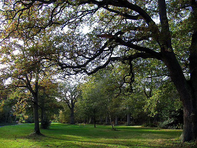
Image: © Pam Brophy Taken: 25 Oct 2004
This section of the trees along "The Avenue" is between the unnamed lane at SU583701 and the road to Beenham Hatch, on the north side of The Avenue in the middle of the southern half of the square.
Images are licensed for reuse under creativecommons.org/licenses/by-sa/2.0
Image Location


Leaflet Map data © OpenStreetMap
Latitude
51.430492
Longitude
-1.159902