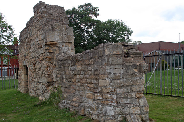
The priory of St. Mary Magdalene
Introduction
The photograph on this page of The priory of St. Mary Magdalene by Jo and Steve Turner as part of the Geograph project.
The Geograph project started in 2005 with the aim of publishing, organising and preserving representative images for every square kilometre of Great Britain, Ireland and the Isle of Man.
There are currently over 7.5m images from over 14,400 individuals and you can help contribute to the project by visiting https://www.geograph.org.uk

Image: © Jo and Steve Turner Taken: 26 May 2007
The ruins are of part of the nave (shown here) and the chancel (Image) of the 13th/late 14th-century church of the Priory of St. Mary Magdalene, a small monastic cell of the Benedictine Abbey at York. The name of the founder is unknown. It was only intended to support a prior and one or two monks to look after the estates belonging to the abbey. Near the time of the dissolution the abbot stated he was not bound by the foundation to keep any monks there at all.
Image Location


