Track east of Jermyns Farm, Capel St Mary
Introduction
The photograph on this page of Track east of Jermyns Farm, Capel St Mary by Evelyn Simak as part of the Geograph project.
The Geograph project started in 2005 with the aim of publishing, organising and preserving representative images for every square kilometre of Great Britain, Ireland and the Isle of Man.

There are currently over 7.5m images from over 14,400 individuals and you can help contribute to the project by visiting https://www.geograph.org.uk
Track east of Jermyns Farm, Capel St Mary
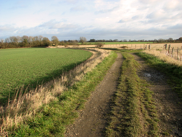
Image: © Evelyn Simak Taken: 29 Dec 2011
The farm track serves as a public footpath and leads to the dismantled railway line a short distance further to the north-east and on to Park House from there.
Images are licensed for reuse under creativecommons.org/licenses/by-sa/2.0
Image Location
Latitude
52.011255
Longitude
1.042993